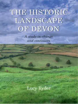
The 19th century historic landscape of Devon developed from earlier patterns of landholdings and settlement that are, today, not always easily discernible on the ground. The study of Tithe Survey landholdings, field-names, and associated documentary evidence, together with the physical evidence of change and development through field and settlement pattern can be used to elucidate the relationship between field and settlement morphologies and patterns of 19th-century landholding. The combined evidence for three case-study areas – the Blackdown Hills, Hartland Moors, and the South Hams – is examined in detail though the creation, manipulation, and querying of a Geographical Information Systems (GIS) database. Key issues addressed include: how far back patterns of 19th century landholding can be traced, or projected, back into the medieval period; the occurrence and extent of open field farming in Devon; and the spread of nucleated and dispersed settlements. Looking beyond the physical aspects of landscapes, the idea of landscape pays and the identification of regional differences in the study of the historic landscape are investigating revealing how closely entwined are the physical and social landscapes of this historic county.


Explore The Historic Landscape of Devon by Lucy Ryder on eBooksStore by Arnlweb. Discover book details, reader ratings, reviews, release information, genres, and related digital books available through the iTunes Store.
This book is part of our growing collection of bestselling eBooks, popular digital reading materials, and trending author releases. Readers can explore similar books, discover new authors, and browse related genres including fiction, romance, mystery, fantasy, business, self-help, educational books, and more.
Our platform helps readers discover highly rated digital books optimized for smartphones, tablets, laptops, and desktop devices. Browse fast-loading book pages, reader reviews, and popular recommendations from bestselling authors worldwide.